Tourist Attraction · Doi Inthanon National Park
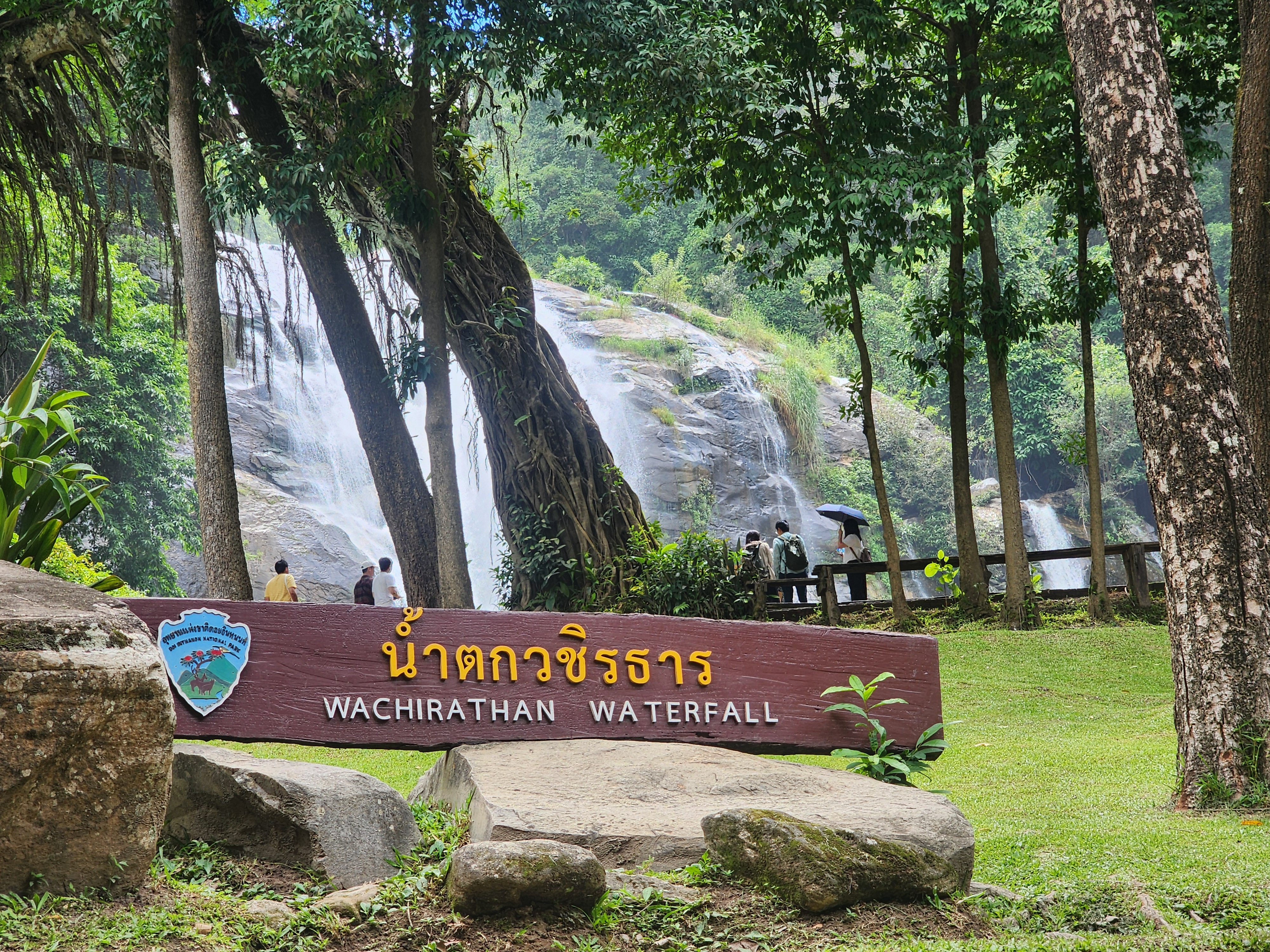
Wachirathan Waterfall
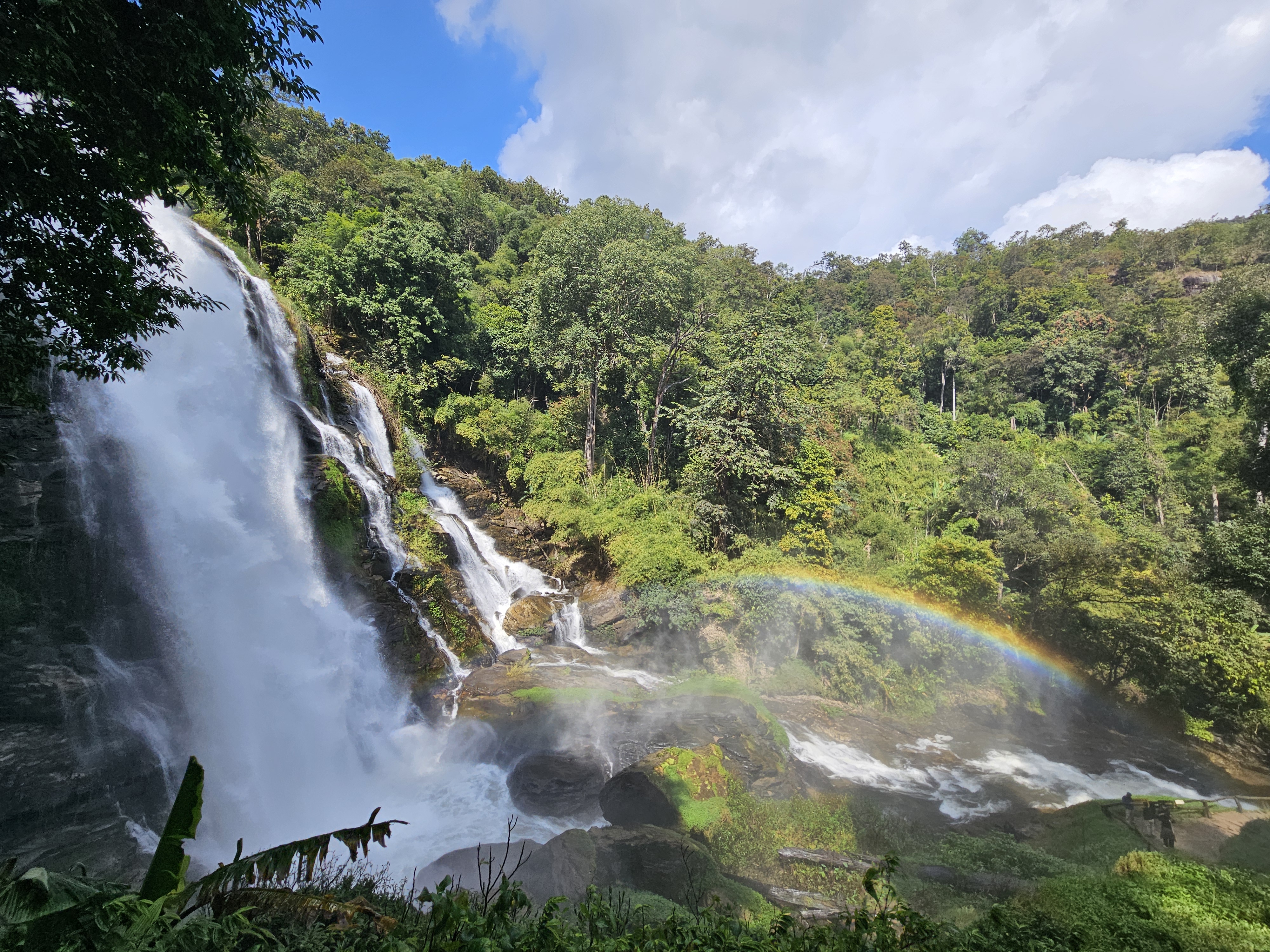
A natural waterfall icon inside Doi Inthanon National Park — about 80 m tall, with drifting mist and frequent rainbows.
Ratings and review counts synced from Google Maps user reviews · September 2026 · Click to view all reviews on Google Maps↗
View on Google MapsTourist Attraction · Doi Inthanon National Park
Wachirathan Waterfall
WACHIRATHAN WATERFALL
Today's Weather & Shooting Windows
Live weather at the waterfall
Times computed from the waterfall's real coordinates
About
Wachirathan Waterfall — A Natural Jewel of Doi Inthanon
One of the most powerful and photogenic waterfalls on the road to Doi Inthanon's summit
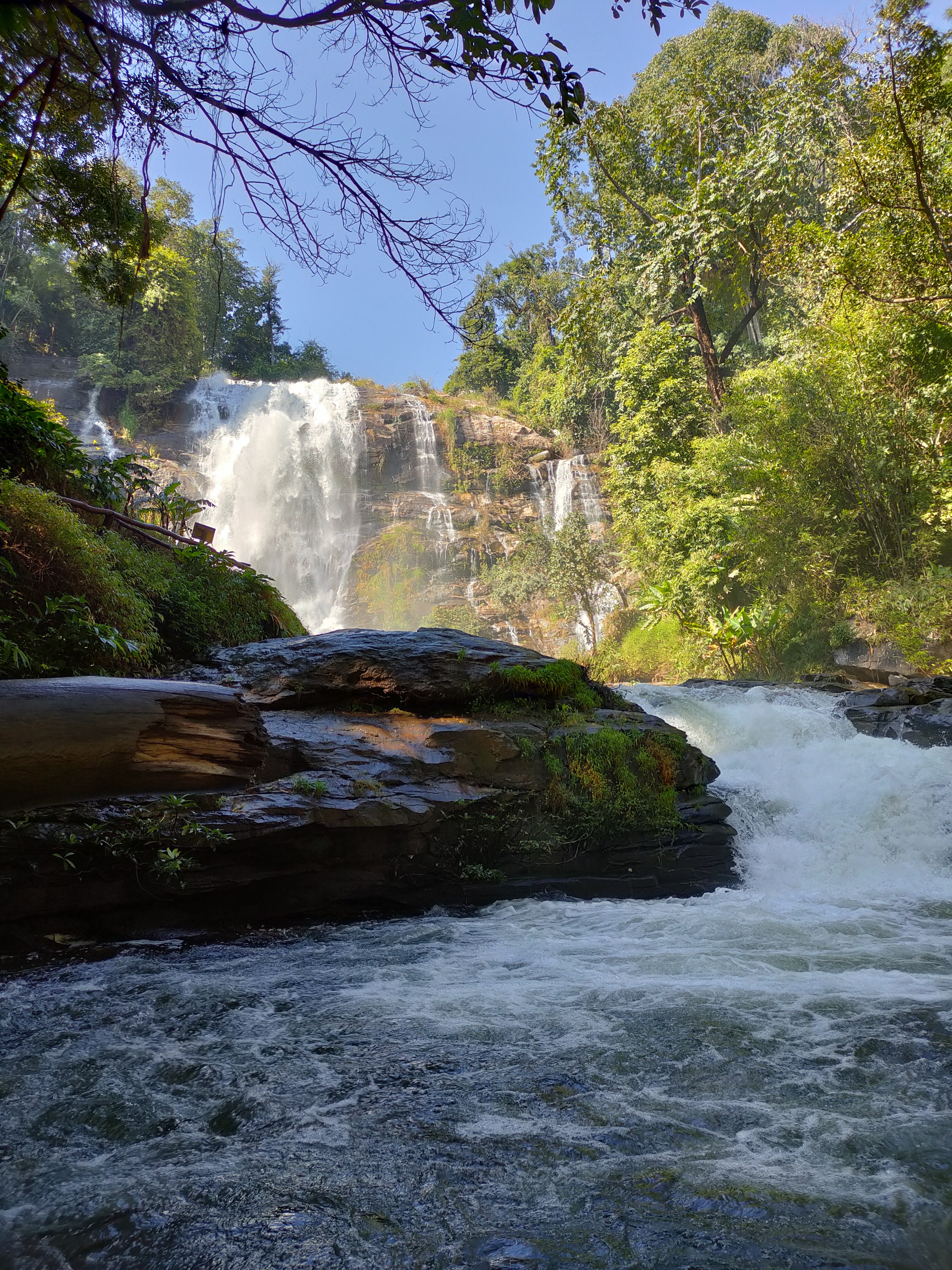
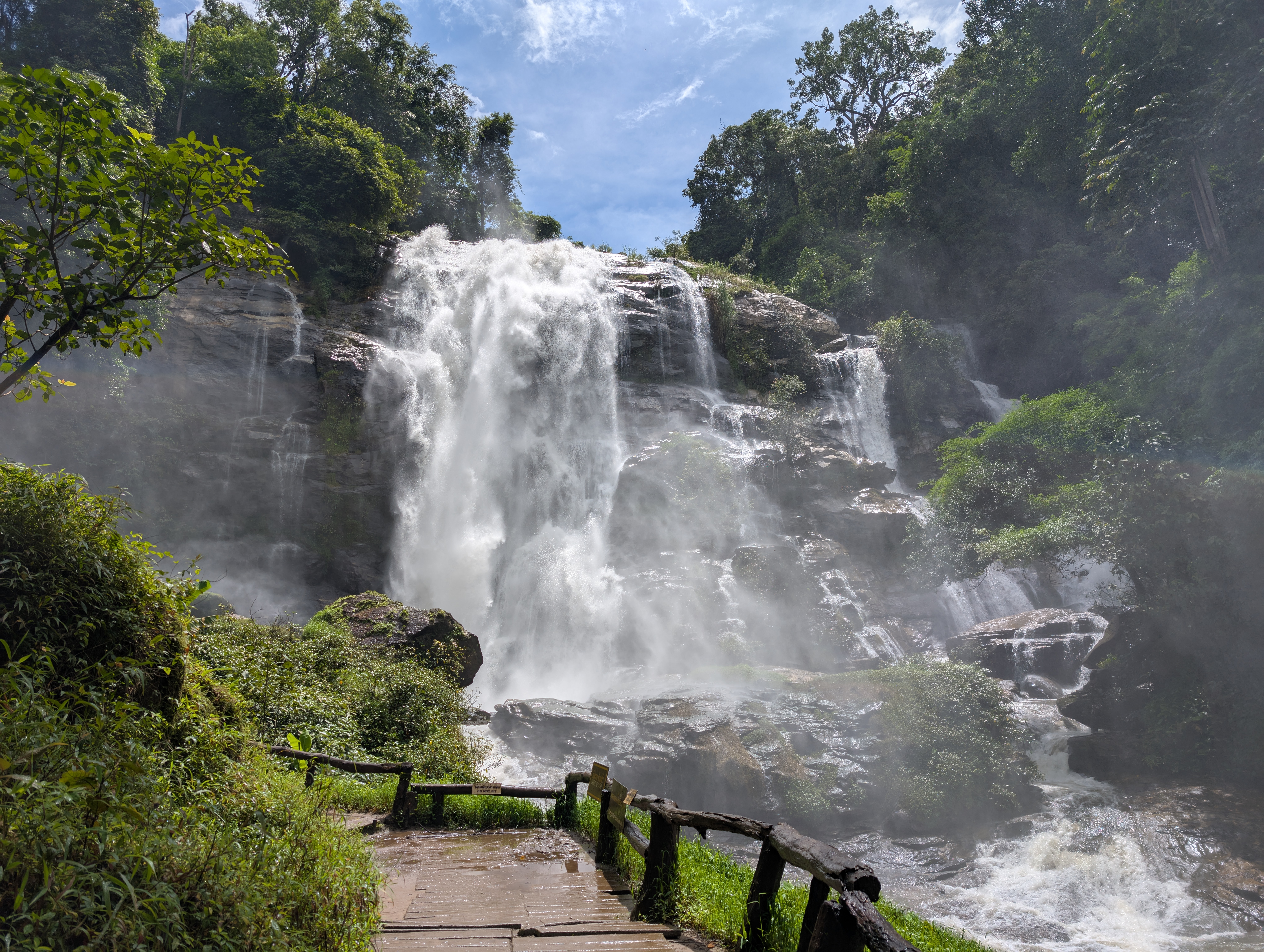
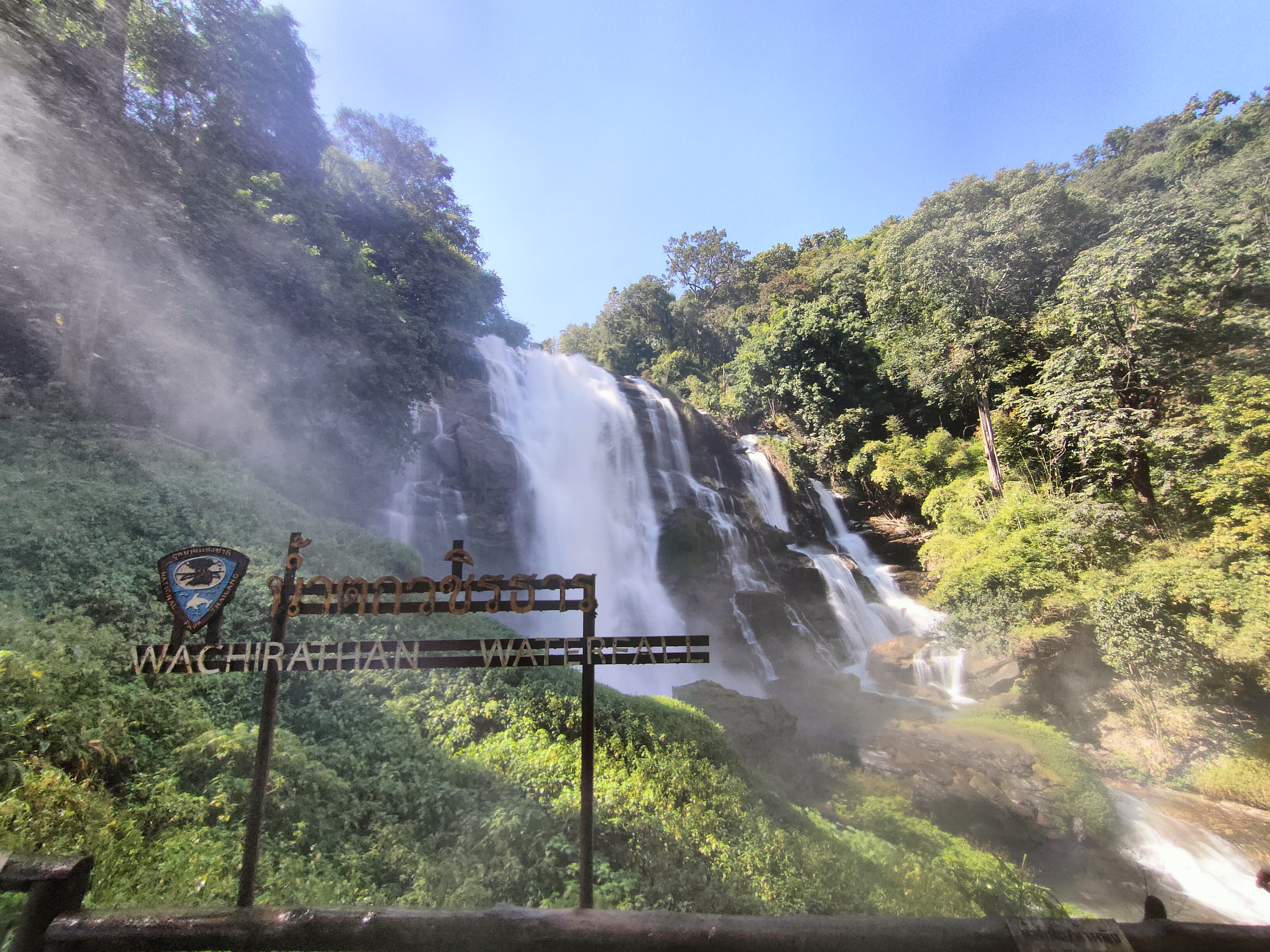
Wachirathan is a single-drop waterfall about 80 metres high, fed by the Mae Klang (Huay Mae Klang) stream, a tributary of the Ping River. It sits at kilometre 21–22 of the Chom Thong–Doi Inthanon summit road (Highway 1009) inside Doi Inthanon National Park, Chiang Mai.
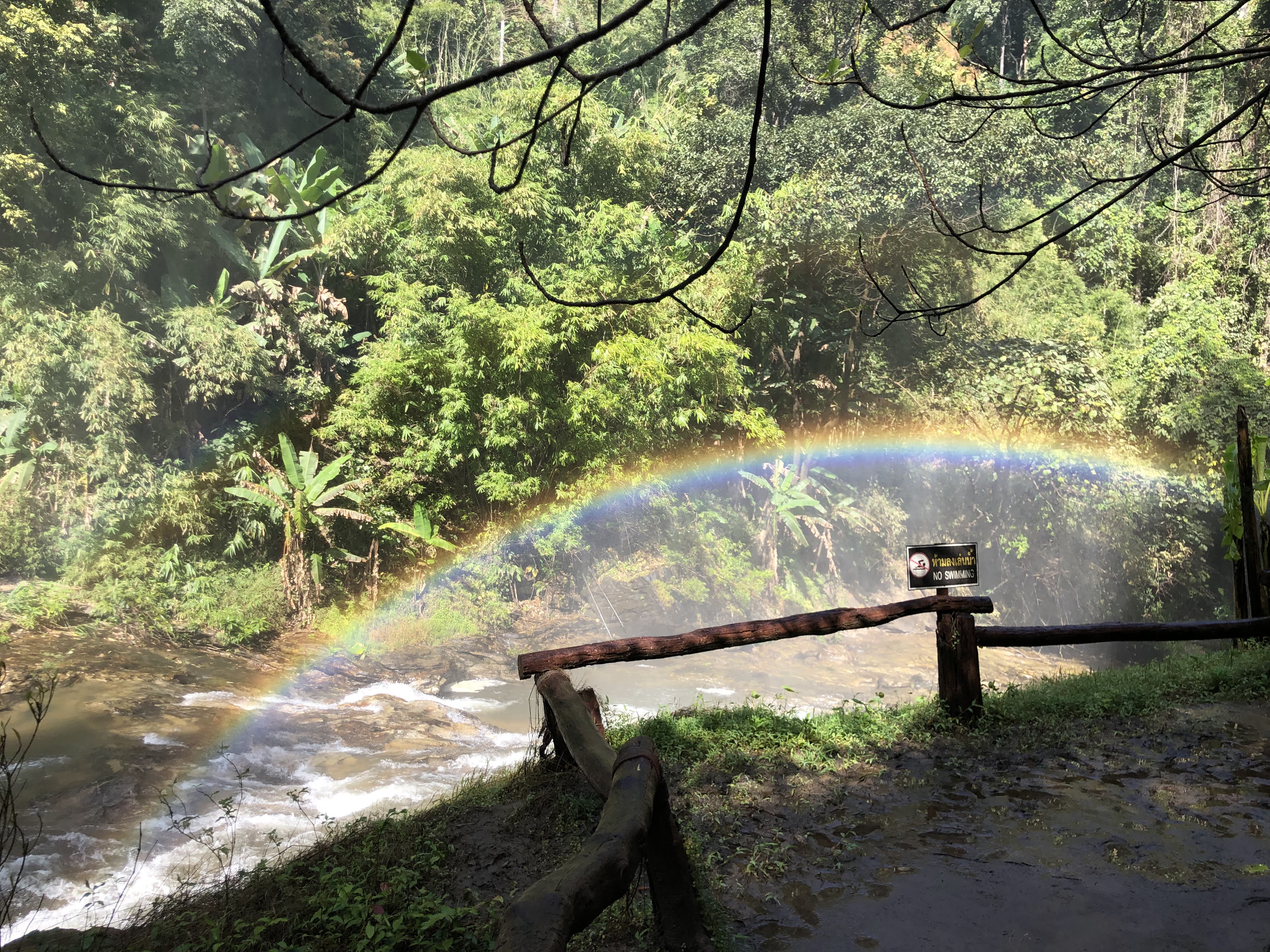
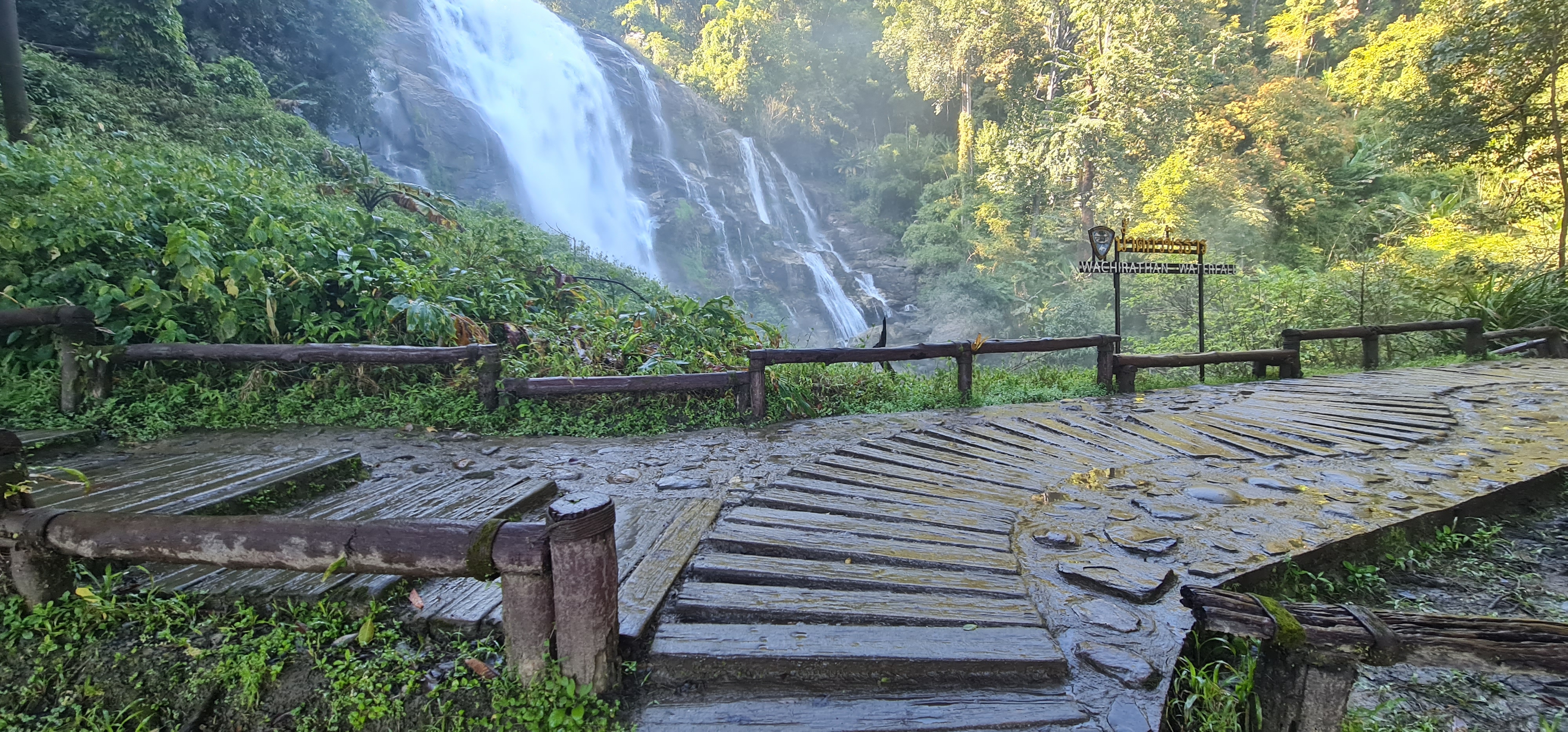
A short walk from the car park brings you close to the falls, with wooden bridges and viewing platforms. The misty base often throws up rainbows when the sun hits the spray, while a nature trail leads into the lush rainforest around the waterfall.
“When sunlight strikes the spray, Wachirathan glitters like scattered diamonds.”
Park at the upper lot and walk down — you'll reach the closest, quietest viewpoint
See map →Ecology
High-Mountain Rainforest & Microclimate
“The endless plunge shapes not only the falls, but a thriving 'mist micro-ecosystem' in the gorge.”
Wachirathan sits in a valley at about 750 m above sea level within Doi Inthanon National Park. Water from the Mae Klang stream (แม่กลาง) drops 80 m onto a granite wall; the impact shatters it into suspended mist, creating a naturally humid microclimate zone.
1. The Mist Microclimate Lab
Even in the Northern dry season (Nov–Apr), relative humidity within 100 m of the falls stays above 90%.
Mist evaporation draws away heat, keeping the area 3–5°C cooler than the city below — a cool, damp local pocket.
Tumbling water releases negative ions, making it Doi Inthanon's natural high-mountain 'oxygen bar'.
2. The Vertical Plant World
Rock faces and trunks in the densest mist wear a thick emerald carpet of bryophytes.
- High-mountain ferns — Bird's-nest fern (Asplenium nidus), staghorn fern and climbing ferns draped on trunks
- Native dendrobium & orchids — Wild orchids on old branches bloom in turn between rainy and cool seasons, feeding on the humid air
Along the boardwalk in moist humus soil grow diverse high-mountain shade plants.
- Wild ginger & begonias — Begonias (Begonia) with patterned leaves and native ginger brighten the forest floor
- Wild banana & balsam — Banana thickets along the stream shelter small animals
The ridge above is cloaked in evergreen trees of Lauraceae and Fagaceae whose overlapping crowns filter harsh direct sun for the layers below.
3. Highland Life on the Food Chain
- Birdwatching haven: the crimson sunbird (Aethopyga siparaja), blue whistling thrush, white-capped redstart and kingfisher along the stream
- Amphibians & insects: mossy banks are breeding grounds for mountain toads, tree frogs and rare damselflies (stream jewelwings)
4. Protection: Leave No Trace
The micro-ecosystem is extremely fragile — trampled moss and epiphytes can take years to recover.
- Stay on the boardwalk and viewpoints; never step on the moss and vegetation outside the path
- Do not pick wild orchids or plants — leave them whole for wildlife and later visitors
- Carry out all your rubbish so nothing pollutes the high-mountain stream water
History
The Name & Story of Wachirathan
The name 'Wachirathan' comes from Pali–Sanskrit roots, hinting at the sparkling beauty of its spray
What 'Wachirathan' means
'Vachira' (Sanskrit vajra) means diamond or thunderbolt; 'thara' means stream. Together they mean 'Diamond Stream' or 'Thunderbolt River' — likening the sparkling spray to scattered diamonds.
Former name: 'Tad Kong Yong'
Before becoming widely known as Wachirathan, locals called it 'Tad Kong Yong' (Tard Klong Yong), after the stream that feeds it from Doi Inthanon.
Part of Doi Inthanon
The area around the falls lies within Doi Inthanon National Park, established in 1972 and home to Thailand's highest peak.
From royal forest to national park
Long before it became a national park, the Doi Inthanon massif was a protected royal forest (ป่าสงวนพระเจ้า) and a favoured retreat of the Lanna court. In 1954 it was designated a forest park, and on 2 October 1972 — as Thailand's 6th national park — it was formally opened to the public under the name Doi Inthanon National Park.
Local Legend
Local lore says a naga spirit dwells in the deep pool, guarding the clear water. Elders say that if you speak softly, the spray forms curious shapes they call the 'waterfall's diamonds'.
Did you know?
The falls flow all year round, fed by the Mae Klang stream from Doi Inthanon, so they never run dry even in the hot season.
Stories & Legends
Named after the Thunderbolt
Legend says that Lanna-era monks passing through heard the falls roar like a vajra (thunderbolt) striking stone on stormy nights, with spray scattering like diamonds — so they named it after the Sanskrit word “Vajra”, believing the place was guarded by divine power.
The Naga's Deep Pool
Villagers believed a Naga serpent spirit guarded the deep pool at the base of the falls. When the rainy season swelled the water, elders would warn children not to play in the pool, out of respect for the water spirit.
A Royal Summer Retreat
In the Lanna kingdom era, Doi Inthanon was a favoured summer retreat of the royal court. The forest around the falls was formally designated a protected forest in 1954, laying the groundwork for the national park established in 1972.
Live Weather
Current Weather & 7-Day Forecast
The valley microclimate at the falls often differs from the city below. Check the live conditions before you go — whether to bring an umbrella, and how warm to dress, all in one view.
Next 7 days
Forecast is based on the valley microclimate at the falls' real coordinates and updates automatically each day.
Visitor Guide
Planning Your Visit
Everything you need to make the most of your trip to Wachirathan — safely and comfortably
06:00 – 17:00
- Daily (Mon–Sun)06:00–17:00
Park Entrance Fee
- Foreigners (adult)300 THB
- Foreigners (child)150 THB
- Thai nationals (adult/child)50 / 20 THB
How to Get There
- Car / VanAbout 70 km (1.5 hrs) from Chiang Mai city via Highway 1009
- Day tourMany Chiang Mai day tours include the falls with Doi Inthanon viewpoints
- Public transportSongthaew from Chiang Mai to Chom Thong, then onward into the park
- From the airportChiang Mai International Airport (CNX) is ~80 km / ~2 hrs away. Take a taxi or pre-booked van; most visitors combine the trip with a Doi Inthanon day tour
Photography & Rainbow Guide
Plunging 80 m with an intense high-pressure mist, Wachirathan is one of the easiest places in Northern Thailand to capture a 3-D double rainbow and silky long-exposure water. Master the light angle and you'll get postcard shots.
Best Light & Rainbow Windows
The golden rainbow window. Sunlight hits the base mist and a clear — often double — rainbow arcs over the lower viewpoint.
Fewest crowds, soft light. Misty forest glow — perfect for slow-shutter silky water streaks.
Sun drops behind the ridge; the falls fall into shade and the rainbow fades, but light is even for deep rainforest mood shots.
3 Golden Spots
View: Head-on to the full fall — rainbows most often arch across the mist right in front of you.
Composition: Use an ultra-wide (16–24mm); place a person at the rail as foreground for a 'human + rainbow + giant fall' frame.
View: Avoids the heaviest mist; shows splash detail on the rock face and dense high-mountain ferns.
Composition: Use the bridge lines as leading lines to the mid-fall; shoot vertical to stress the 80 m height.
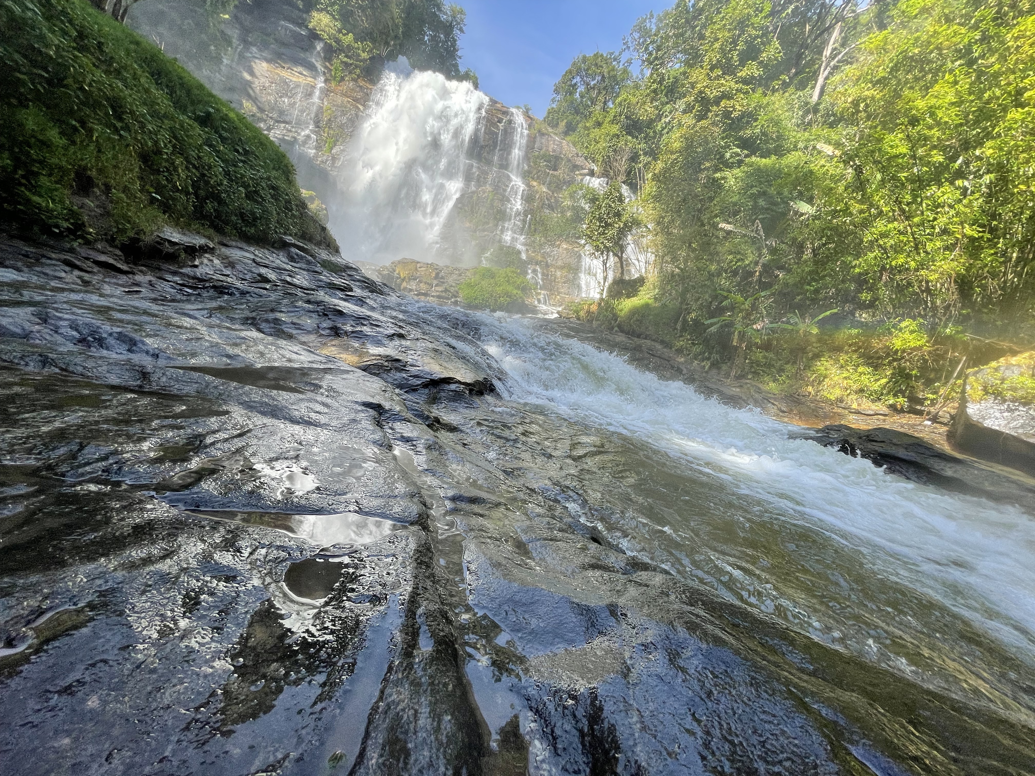
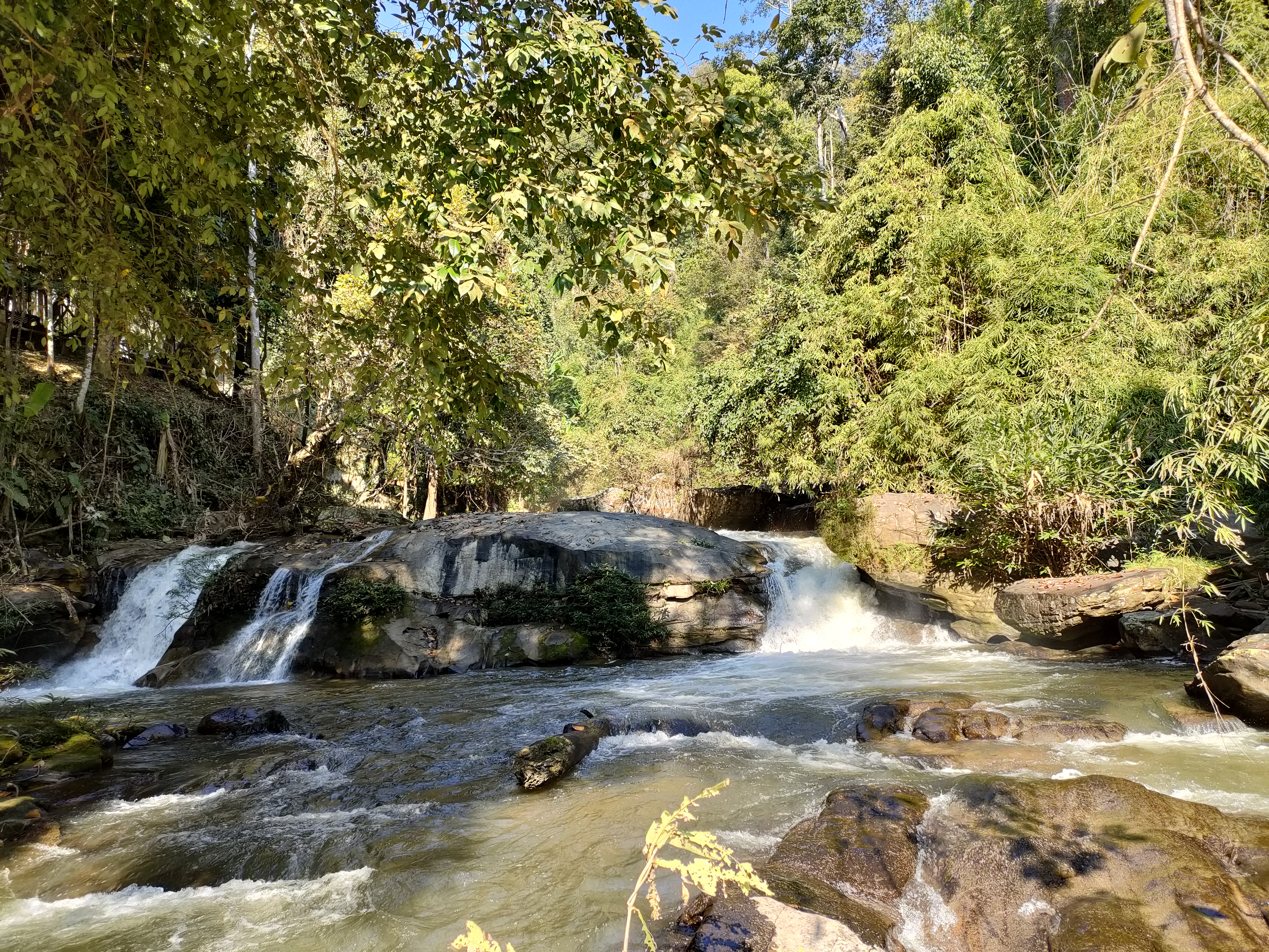
View: Away from crowds; mossy boulders make great foreground.
Composition: Low angle near the water; let the stream's converging lines pull the eye, contrasting flowing water with still rock.
Camera & Phone Settings
Camera: Shutter 1/4s–2s · f/8–f/11 · ISO 100 · tripod + ND filter (ND8/ND64)
Phone: iPhone: shoot Live Photo then choose 'Long Exposure'. Android: Pro mode, shutter 0.5s–1s.
Camera: Shutter 1/500s–1/1000s · f/4–f/5.6 · ISO 400–800 · CPL polariser (key)
Phone: Normal photo mode; tap the brightest part of the rainbow to focus and expose.
Gear Care & Pitfalls
- Waterproofing first: the mist is like artificial rain — you're soaked in 10 seconds at the main viewpoint.
- A CPL polariser is the rainbow cheat: it kills glare on wet rocks, boosts green saturation, and strengthens rainbow contrast.
- Three-step shoot: set up away from the mist; cap the lens and walk in; wipe the glass, compose, fire, then retreat under cover.
- Bring 3–4 microfibre cloths (one gets soaked fast), a rain cover for the camera, and an absorbent towel.
Best Season & Flowering
At about 750 m above sea level, Doi Inthanon is cooler than the plains. Water volume and scenery shift through the year — plan by season for a smoother trip.
Steady flow · Best morning mist
Groundwater stored from the rains keeps the fall flowing year-round; cool-season water is steady and clear. Mornings often wear a thin veil of mist and the temperature is pleasant (~15–25°C) — the most comfortable season for families and seniors.
Slightly less water · Shady & cool
Flow eases a little from the cool season but stays impressive; midday is hot, so go early or late. The altitude's shade and mountain breeze feel cooler than the plains.
Max flow · Mind the slip
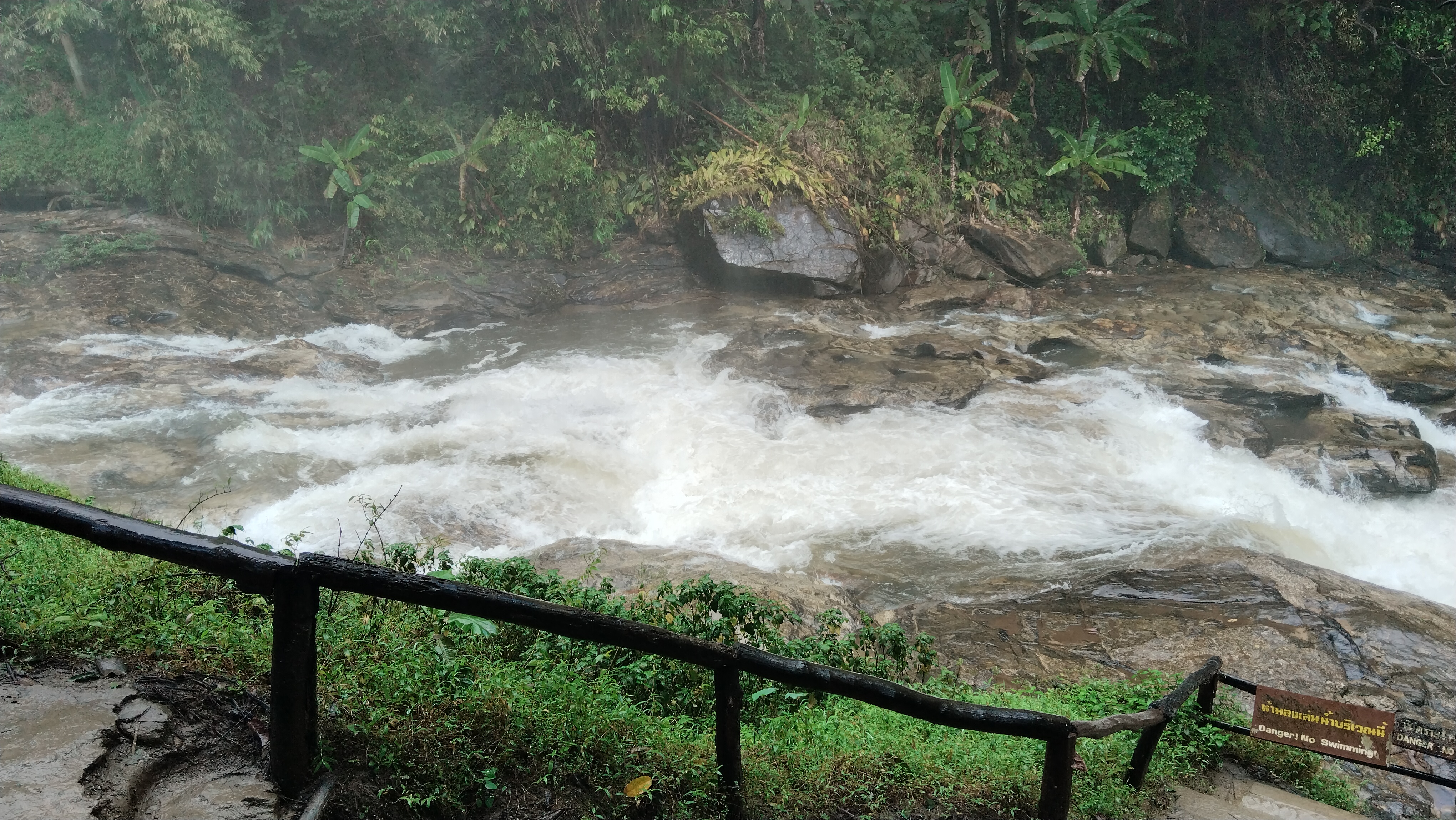
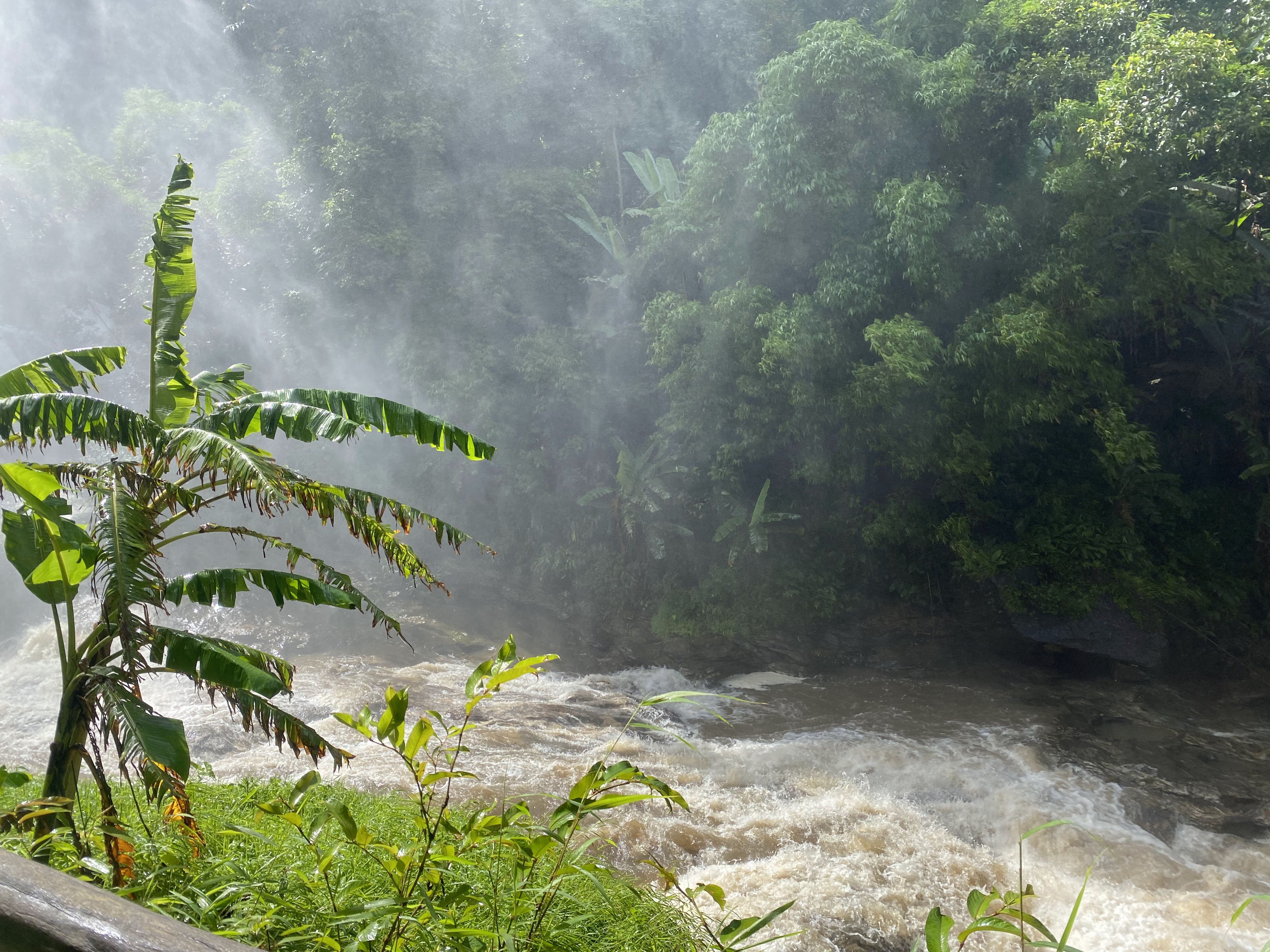
Heavy rain makes the falls most powerful and the mist thickest, with frequent rainbows. But trails get slippery and hillsides may shed rocks — wear grippy shoes and watch the weather alerts.
Safety Tips
- No swimming — Swimming in the deep pool at the base of the falls is strictly prohibited — currents and submerged rocks are dangerous
- Slippery trails — Boardwalks and steps get very slippery in the rainy season (Jun–Oct); wear proper footwear and hold the rails
- Stay on paths — Keep to marked viewpoints and trails; the cliff edges near the falls are steep and unstable
Accessibility & Senior Tips
Wachirathan is fairly friendly for families and seniors: the walk from the car park to the main viewpoint is short and gently graded, with well-built boardwalks and rails.
- Gentle boardwalk — The boardwalk from the car park is nearly flat, with continuous handrails along the way — wheelchairs and strollers can reach the lower viewpoint.
- Close to the falls — Just a few minutes' walk from the car park brings you to the main viewpoint, so no long trek is needed — easy even for seniors.
- Facilities — Car park, toilets and food stalls are near the entrance. Avoid the midday peak in high season; early morning or late afternoon is more relaxed.
Frequently Asked Questions
Does the waterfall flow all year? +
Yes — fed by the Mae Klang stream from Doi Inthanon. The rainy season (Jun–Oct) brings the most powerful and photogenic flow.
When is the best time to visit? +
Rainy season for full flow; cool season (Nov–Feb) for pleasant weather and soft light. Mornings bring mist and rainbows.
Is it a long walk to the falls? +
No — just a few minutes' walk from the car park to the main viewpoint, with ramps and wooden bridges.
Is there parking and facilities? +
Yes — car parks, food stalls, souvenir shops and toilets are near the entrance.
Is there an entrance fee? +
The falls are inside Doi Inthanon National Park, so the park entrance fee (see above) applies.
Nearby Attractions
A slender 40 m fall a few km north, fed by the Mae Klang — a quiet photo stop
→ Learn moreOne of the park's largest falls, a multi-tier curtain of water ideal for a longer hike
→ Learn moreThe twin pagodas (Naphamethinidon & Naphaphonphumisiri) near the summit, built to honour the royal family
→ Learn moreVisitor Services
Facilities & Nearby Services
An overview of the types of services commonly found at the falls and nearby, so you can plan with confidence. We do not recommend specific businesses; actual availability may vary on site.
Restrooms
Public restrooms are located near the entrance and parking areas; some are Thai-style squat toilets — bring your own tissue and hand sanitiser.
Parking
Two large parking areas (upper and lower) sit close to the viewing trail entrances; they fill up on holiday afternoons, so arrive in the morning.
Food & Drink
Local snack stalls and simple food stands operate near the parking area in high season, serving affordable northern Thai favourites; bringing your own snacks also works.
Accommodation
There is no lodging at the falls themselves. Chom Thong town and the Doi Inthanon road offer a range of stays, from family guesthouses to resorts.
Shops & Supplies
A small kiosk at the falls sells drinks and snacks; do your main shopping in Chiang Mai city or Chom Thong town beforehand.
Fuel & Charging
The mountain road adds up quickly — refuel in town before heading up. EV drivers should plan charging stops ahead, as charging points inside the park are limited.
Medical & Emergency
The national park visitor centre can assist with basic needs; serious cases require the Chom Thong hospital. Mobile signal can be patchy in the mountains — stay alert.
Connectivity
Signal is good at the main viewing areas but may weaken deeper on the trails. Download offline maps for navigation.
As a non-profit educational site, this overview describes facility types only and is not affiliated with any business.
Food & Drink
Food Stalls by the Falls
Stalls and small eateries at the entrance serve Northern Thai dishes and refreshing snacks
Freshwater fish salt-grilled with a zesty dipping sauce
Northern curry noodle, crispy and creamy
Warm sticky rice with coconut milk and ripe mango
Orange, mango or fresh young coconut
Fresh and dried produce from local hill communities
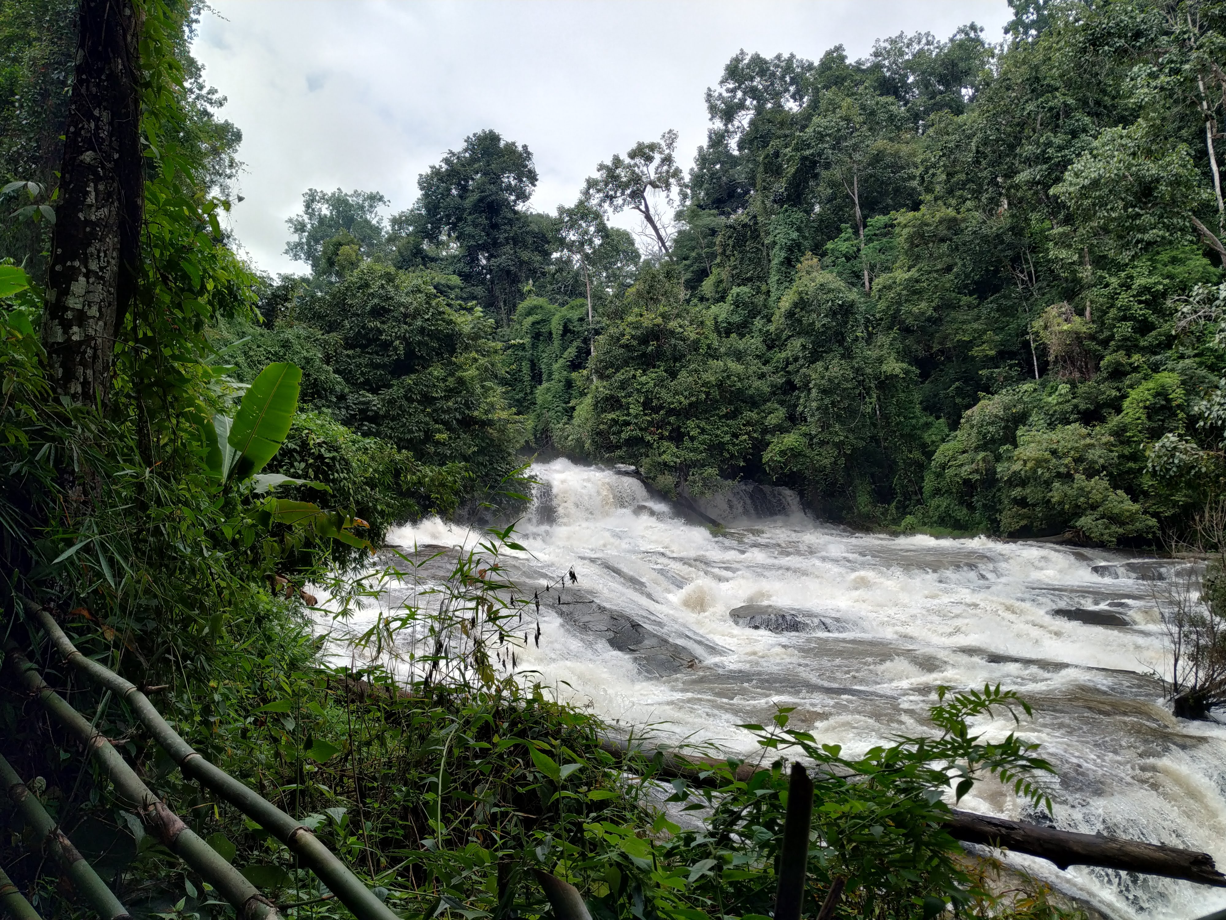
“Resting in the shade with a cold coconut while listening to the falls is simple happiness.”
Seasonal Strategy
Season-by-Season Visit Strategy
A combined analysis of weather, water levels and wildlife activity — compiled from 30-year climate normals published by the Thai Meteorological Department (TMD).
| Season | Months | Weather | Water & clarity | Ecology & wildlife | Visit tip |
|---|---|---|---|---|---|
| Rainy Jun – Oct | Jun – Oct | Afternoon showers, humid air, mist rolling over the hills | Peak volume — the falls at their most thunderous; water slightly turbid | Amphibians and insects at their most active; orchids in bloom | The most dramatic views — bring rain gear; red-dirt paths are slippery |
| Cool Nov – Feb | Nov – Feb | Sunny and dry, cool mornings (can dip to ~10°C in the hills) | Steady, clear flows with a high chance of mist rainbows | Migratory and montane birds active — prime birding season | The best time to visit; crowds build, so arrive before 10 am |
| Hot Mar – May | Mar – May | Hot and dry, strong midday UV | Flows recede but never dry up; water runs clear and shallow | Wildlife active at dawn and dusk to avoid the heat | Go early; midday heat is intense — hydrate and use sun protection |
Month-by-month quick guide
Peak month — busy, arrive early
Blooming season, solid water volume
Go early, afternoons are hot
Songkran crowds; lower flows
Showers begin, volume recovering
Flow building, greenest scenery
Most dramatic, often misty
Highest volume — bring rain gear
Thunderous falls; slippery paths
Still full; visitors increasing
Golden season; birding at its best
High sunshine odds; frequent rainbows
Tailored Plans
Visit Plans by Traveller Type
Three targeted routes: families with kids / photography & nature / low-mobility accessible. Pick the one that matches your group and follow it directly.
Family with Kids
Relaxed pace, safety first, shortest walking distances, with fun nature learning.
- 08:30 Arrive at the lower car park; start with photos from the viewing deck
- 09:00 Walk the wooden bridge to the base of the falls (about 20 min return)
- 10:00 Read the interpretive signs at the nature-trail entrance — mosses and ferns
- 11:00 Simple lunch at the stalls by the car park
Pack a change of clothes for kids — the mist zone soaks everything
Guardrails line the whole route, but keep children from climbing over
Photography & Nature
Chasing light — rainbows, long exposures and macro nature windows.
- 06:40 Arrive at golden hour; shoot light shafts piercing the mist at low angles
- 08:30 Front-lit panorama of the main falls; try 1/4s silk-water long exposures
- 10:00 Macro walk on the nature trail — mosses, ferns and wild orchids
- 16:30 Return for side-lit evening shots and reflections at the base
Keep a lens cloth ready — mist coats the glass in 3 minutes
Yield to pedestrians when tripod-mounted on the bridge
Low-Mobility / Accessible
Shortest walking, fewest steps — comfortable for visitors with limited mobility and their companions.
- 09:00 Park at the upper car park — only a few steps from the viewing deck
- 09:15 Enjoy the full panorama from the railed viewing deck; gentle slopes only
- 10:00 Rest and take photos at the seating area beside the deck; return anytime
- 10:30 If energy allows, descend to the wooden bridge (steps involved — optional)
The upper-car-park route is essentially step-free; wheelchairs can reach the viewing deck
Restrooms are next to the car park with a short, flat path
Suggested Routes
Recommended Itineraries
Two ready-made routes — half-day and full-day — that work on their own or chained with other Doi Inthanon sights.
Classic Half-Day (about 3.5 hours)
- 08:30 Arrive at the upper car park; first shots from the viewing deck
- 09:00 Wooden bridge to the base of the falls — mist and rainbows up close
- 10:00 Loop the nature education trail and learn the rainforest plants
- 11:00 Simple lunch at the stalls, then head back or onward
Deep-Dive Full Day (about 7 hours)
- 07:00 Early arrival; golden-hour light on the main falls
- 08:30 Full nature education trail — birding and macro photography
- 11:00 Lunch and rest at the car park area
- 13:00 Drive to Sirithan Waterfall (about 10 minutes away)
- 15:00 Continue up to the summit and the twin chedis
- 17:00 Watch the sea of clouds from the top, then descend
Science & Stewardship
Conservation & Visitor Responsibility
Wachirathan's ecology rests on a fragile, mist-fed microclimate. Understanding it is the first step to protecting it.
Mist is Life
Humidity within 100 m of the base stays above 90% all year; mosses and epiphytes depend on it and take years to recover once trampled.
The Stream Food Chain
The Mae Klang stream flows from the falls to villages downstream — water quality directly affects farms and aquatic life, and pollution travels down the chain.
Home of Montane Birds
Sunbirds, thrushes and kingfishers breed here. Keep your distance when birding — no flash, no playback calls.
Natural Air-Conditioning
Mist evaporation keeps the area 3–5°C cooler than the city. This cooling depends on intact vegetation — litter and trampling weaken it.
Please do
- Stay on the boardwalks and designated platforms
- Carry your rubbish out — leave no trace
- Keep your voice down; do not disturb wildlife
- Follow park rules; on-site notices prevail if anything changes
Please don't
- Climb over railings into the mist zone
- Pick orchids or trample mosses for photos
- Feed wild animals
- Use detergent in the stream or leave food scraps
Gallery
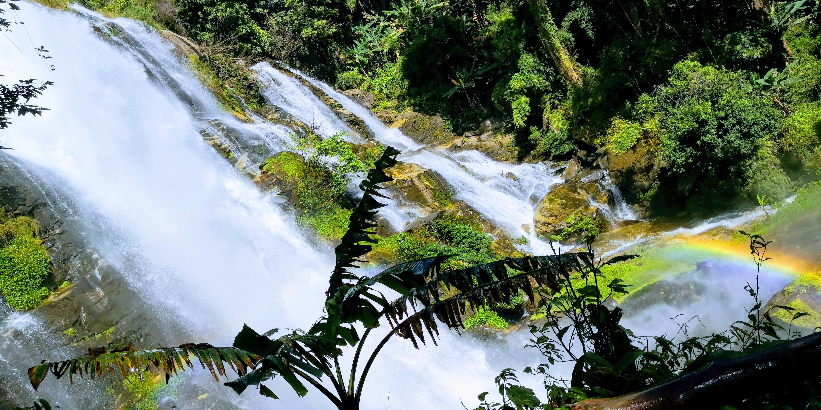
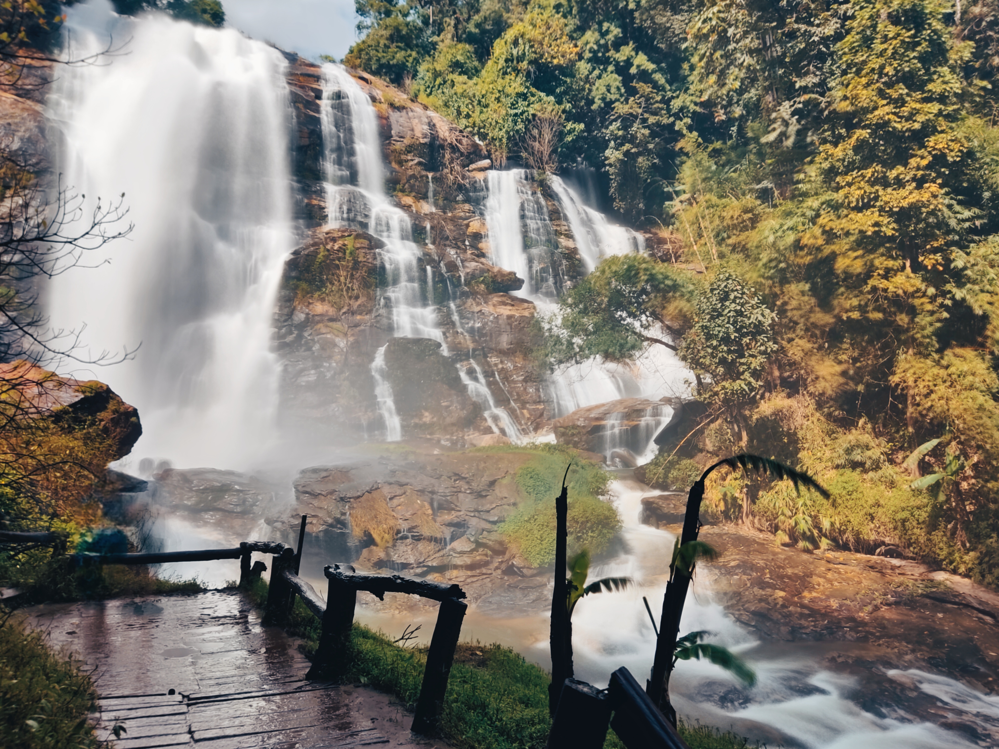
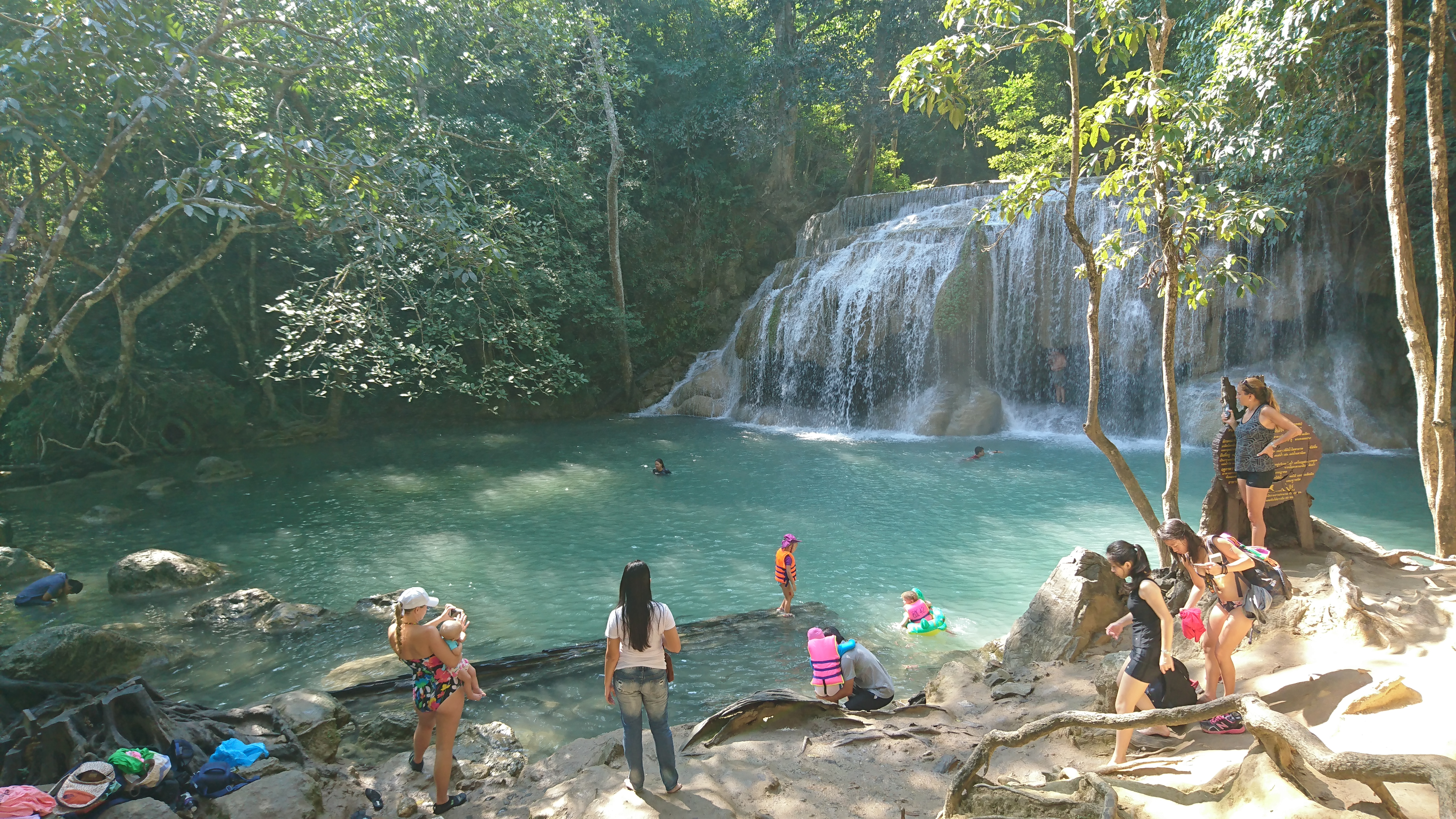
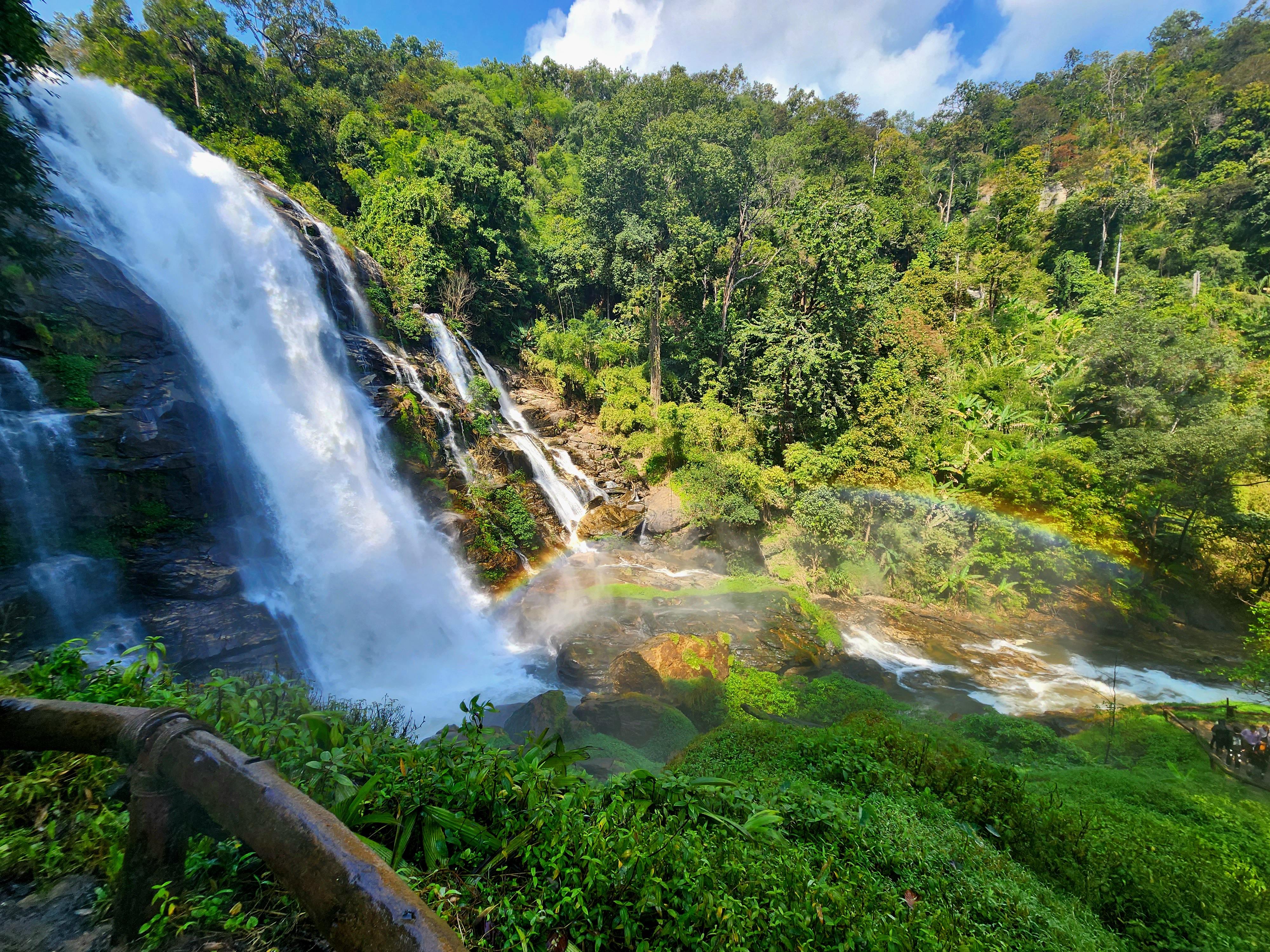
Scenes of Wachirathan Waterfall
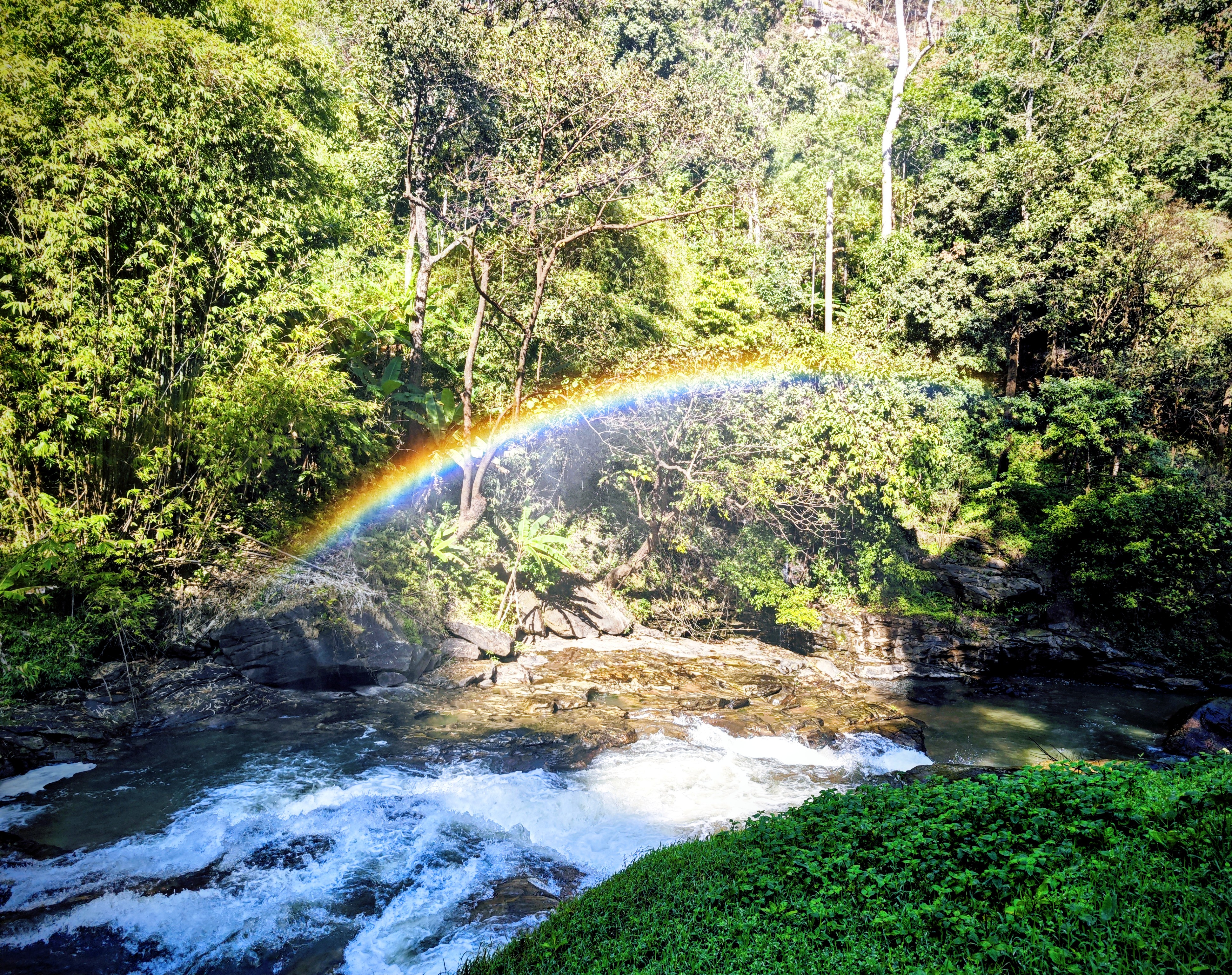
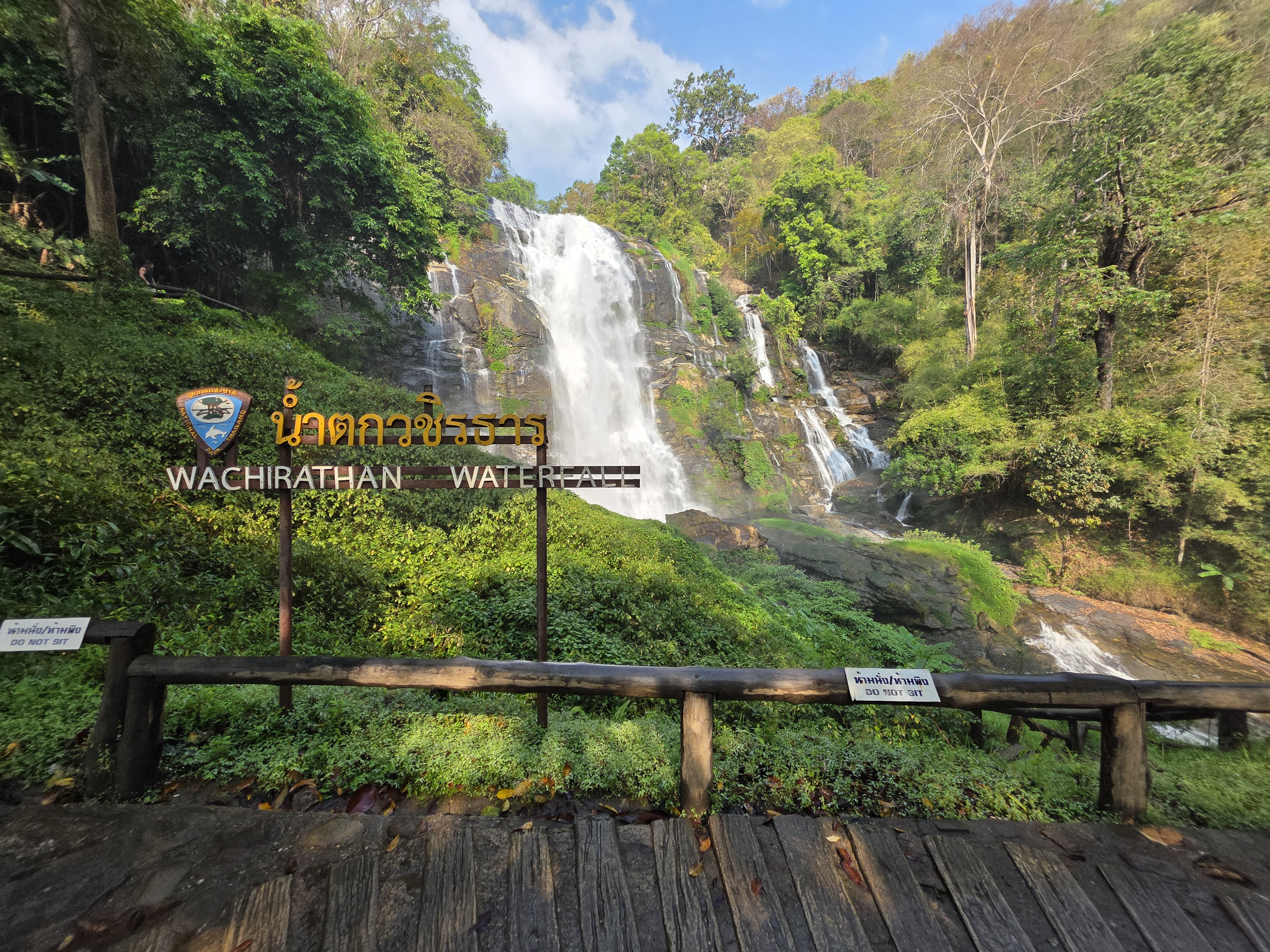
Atmosphere, spray and the rainforest that frames the falls
本网站所展示的所有图片产权及版权均归原摄影者所有。
Reviews
What Visitors Say
A summary of traveller feedback on Google Maps to help you plan
Synced from Google Maps user reviews · Synced September 2026 · Copyright © original authors and Google Maps
As a non-profit educational site, we present both highlights and cautions honestly
Huge and majestic, just a short walk from the car park.
Came in the morning — lots of mist and spray, photos turned out great.
The roar is so loud you can barely talk, but it's fun.
Slightly steep path but the wooden bridge makes it easy.
Less water in the dry season but still beautiful, good for families.
Roadside food was good — had a hot khao soi.
The upper viewpoint is a great wide angle, would come back.
Busy on holidays — come early for parking.
Synced from Google Maps user reviews · Synced September 2026 · Copyright © original authors and Google Maps
Sources
Sources & Photo Licensing
This is a non-profit educational site. Content is compiled from public sources and photos are used under Creative Commons (CC) licences. Copyright remains with the original authors; please let us know of any omission or error.
Photo licensing
- Gallery photos are used under CC BY / CC BY-SA and other Creative Commons licences. About CC licences ↗
- Photo sources include the Tourism Authority of Thailand (TAT) public image library and openly licensed visitor submissions.
- All images displayed on this website remain the property and copyright of their original photographers.
Review source
All visitor ratings, review counts and featured quotes on this page are Synced from Google Maps user reviews · Synced September 2026 · Copyright © original authors and Google Maps
View all reviews on Google Maps: Google Maps ↗
Data & facts
Attraction and history information is referenced from the Tourism Authority of Thailand (TAT) and Doi Inthanon National Park; weather and daylight data come from public meteorological data services.
Authoritative official sources
For the latest fees, opening hours and park notices, please refer to these official channels:
Found a mistake? Tell us
We do our best to keep information accurate, but fees and opening hours can change. If you spot any error, please write to us so we can correct it and help every visitor.
Email a correction →© Wachirathan Waterfall Info Station
Location
How to Find Wachirathan
Inside Doi Inthanon National Park, about 70 km from Chiang Mai
📍 1009, Ban Luang, Chom Thong District, Chiang Mai 50160, Thailand
🧭 GHRX+HP
🌐 18.5420° N, 98.5986° E
For official updates and regional tourism information, visit Thailand / Chiang Mai Official Tourism Portal ↗ or the Doi Inthanon National Park official page ↗ .